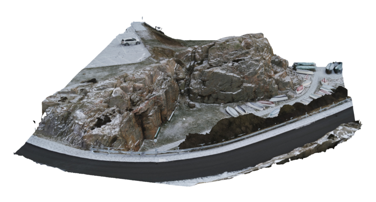
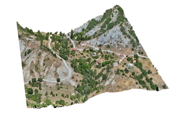
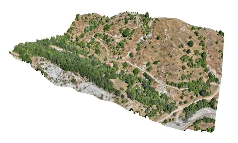
Advantages Using Drone: UAV drone mapping provides high-resolution spatial data for coastal access roads and infrastructure corridors. Using RTK-enabled drones and photogrammetry workflows, engineers can generate detailed orthomosaics and terrain models that accurately document the road alignment, surrounding terrain and coastal conditions. This information supports engineering analysis, infrastructure planning and maintenance of critical access routes serving facilities such as wastewater treatment plants.
Deliverables: Interactive 3D model, Orthomosaic, High resolution imagery, Point clouds, CAD deliverables