Topo-Drone_Creative Applications of Drone Mapping
Client: Private Client
Sector: Public Sector
Services Provided: Drone Survey & mapping
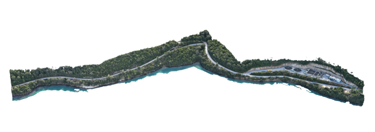
Location: Smögen – Sweden
Advantages Using Drone:
Advantage 1 — Digital Twin Creation for Creative Projects
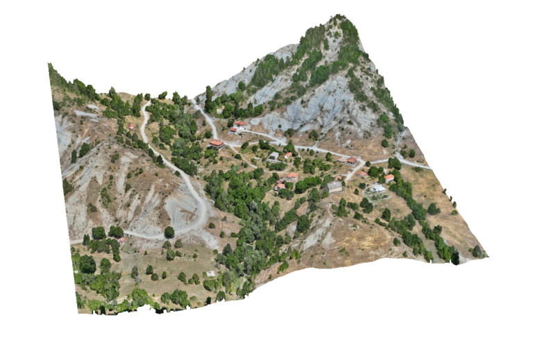
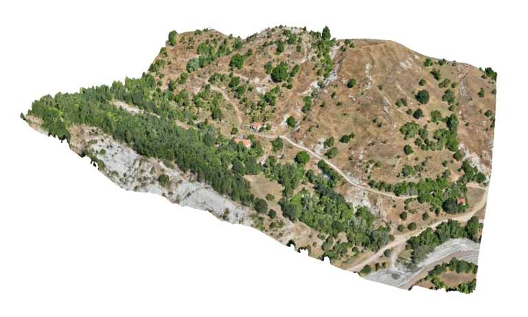
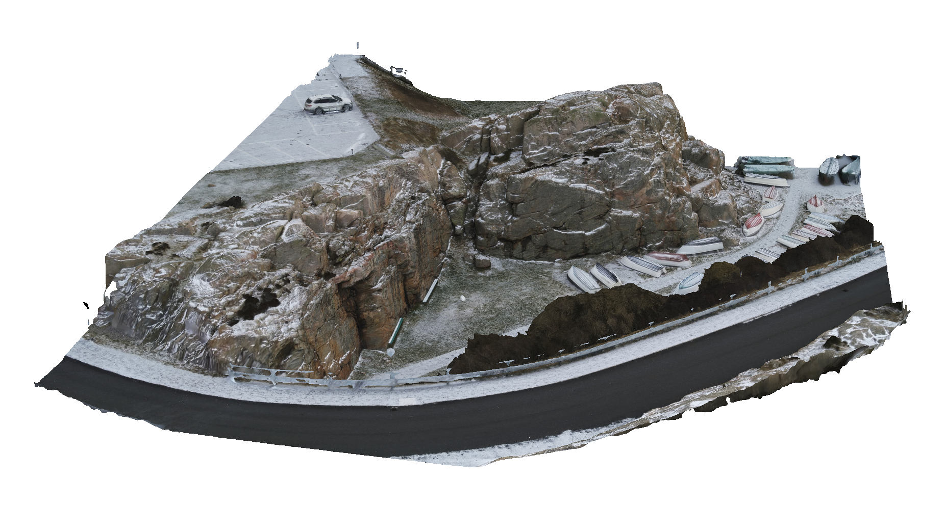
Drone photogrammetry enables the creation of highly detailed 3D digital twins of real-world environments, including natural landscapes, buildings and complex surfaces. These models provide an accurate digital base that artists and technical teams can use to design immersive visual experiences such as projection mapping installations and interactive media environments.
Advantage 2 — Precise Alignment of Visual Content
High-resolution drone-generated 3D models allow projection mapping content to be precisely aligned with real-world surfaces. This ensures that animations, lighting effects and visual narratives match the geometry of the environment, creating a seamless and immersive experience for festival audiences.
Advantage 3 — Innovative Use of Geospatial Technology in Art & Media
Drone mapping technologies traditionally used in surveying and engineering can also support creative industries, digital art and immersive media production. Accurate 3D spatial data allows artists, designers and technical teams to transform real environments into interactive visual installations for festivals and cultural events.
Deliverables: Interactive 3D model, Orthomosaic, High resolution imagery, Point clouds.