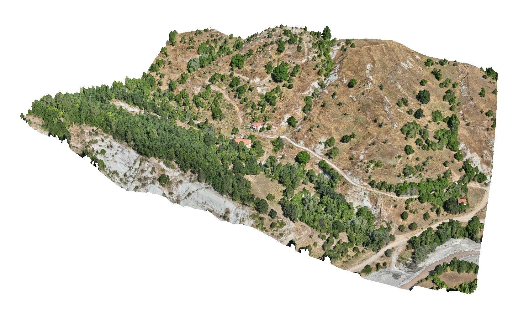
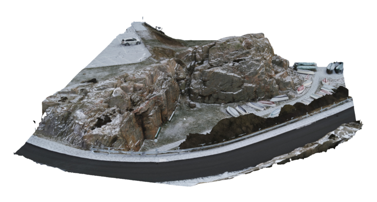
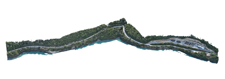
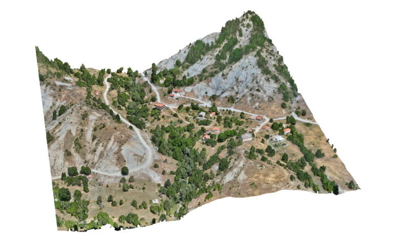
Advantages Using Drone: Drone surveys allow large settlement areas to be mapped quickly and consistently. Compared to traditional surveying methods, UAV mapping significantly reduces fieldwork time while providing uniform high-resolution data across the entire planning area.
Deliverables: Interactive 3D model, Orthomosaic, High resolution imagery, Point clouds, CAD deliverables