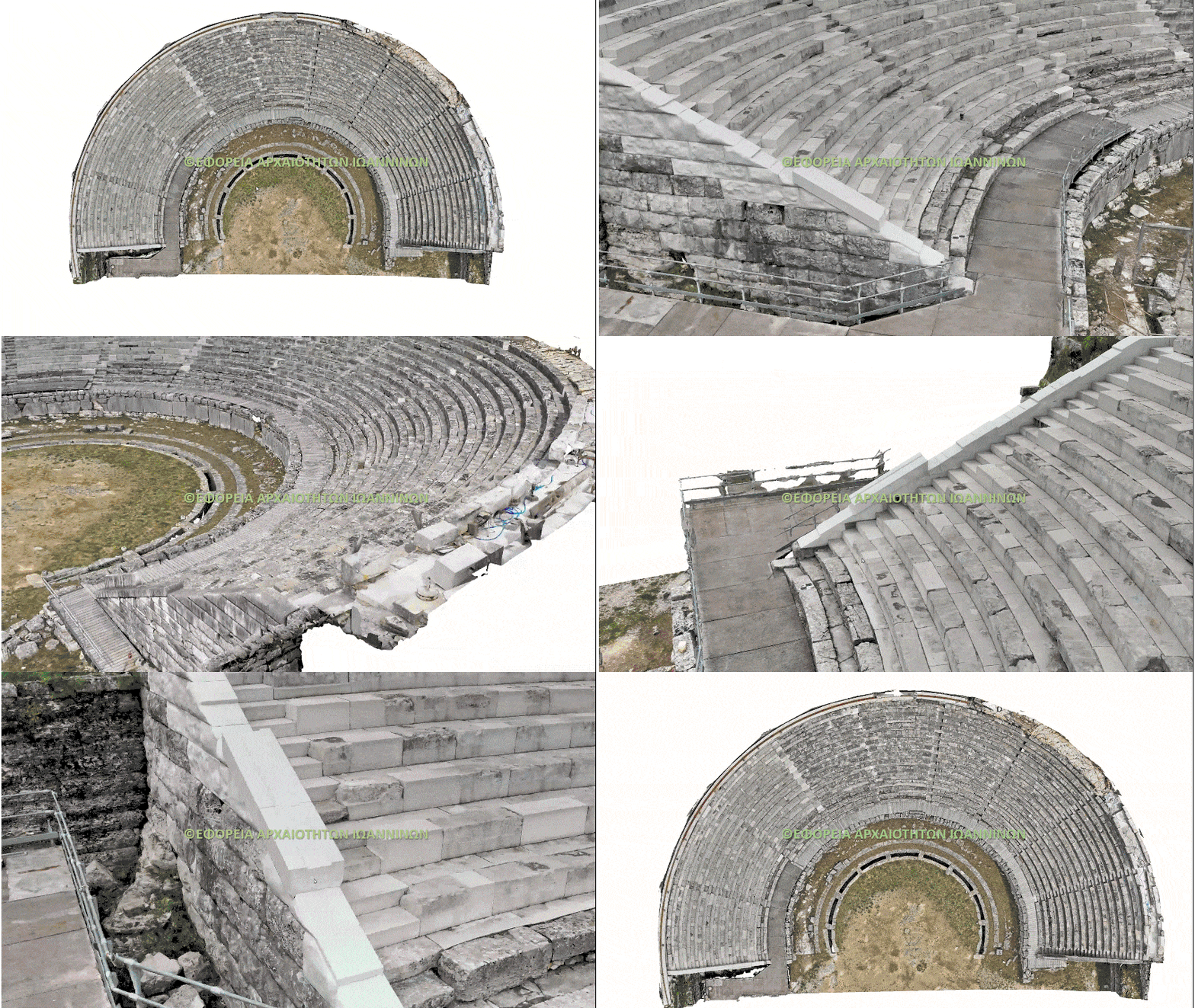
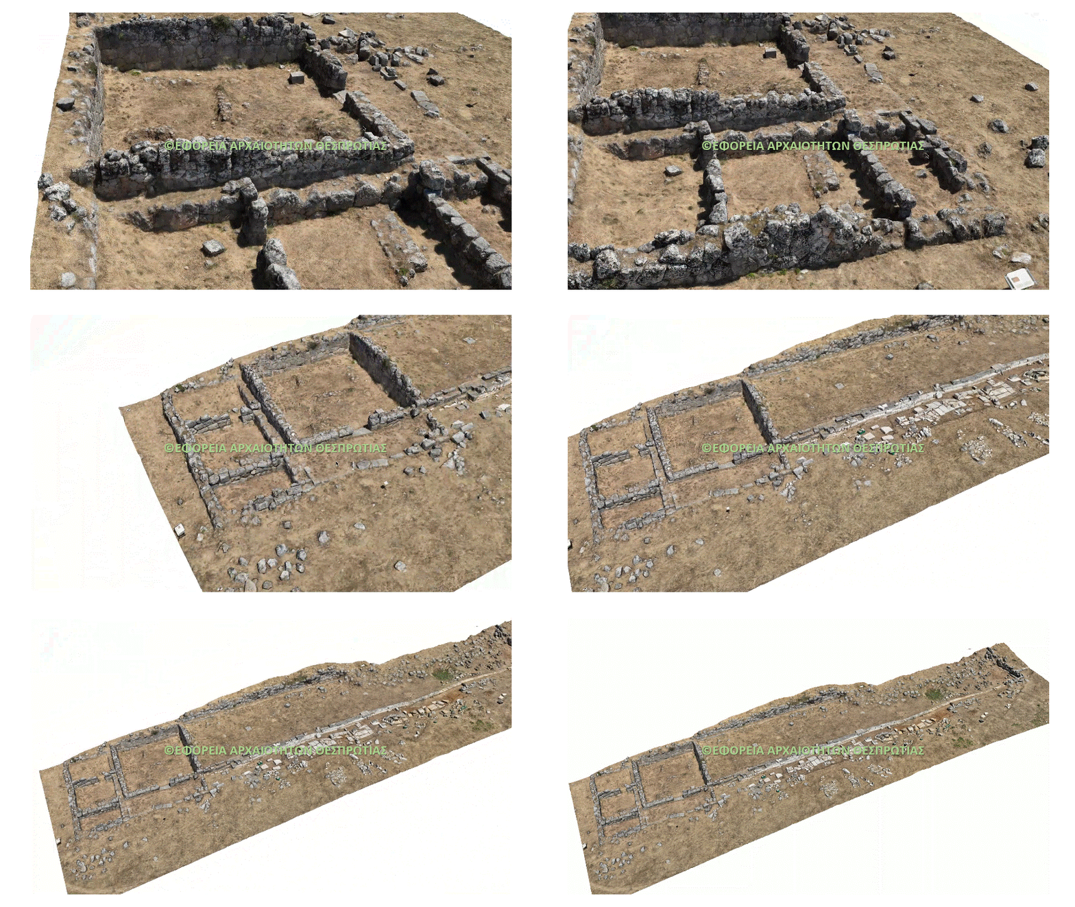
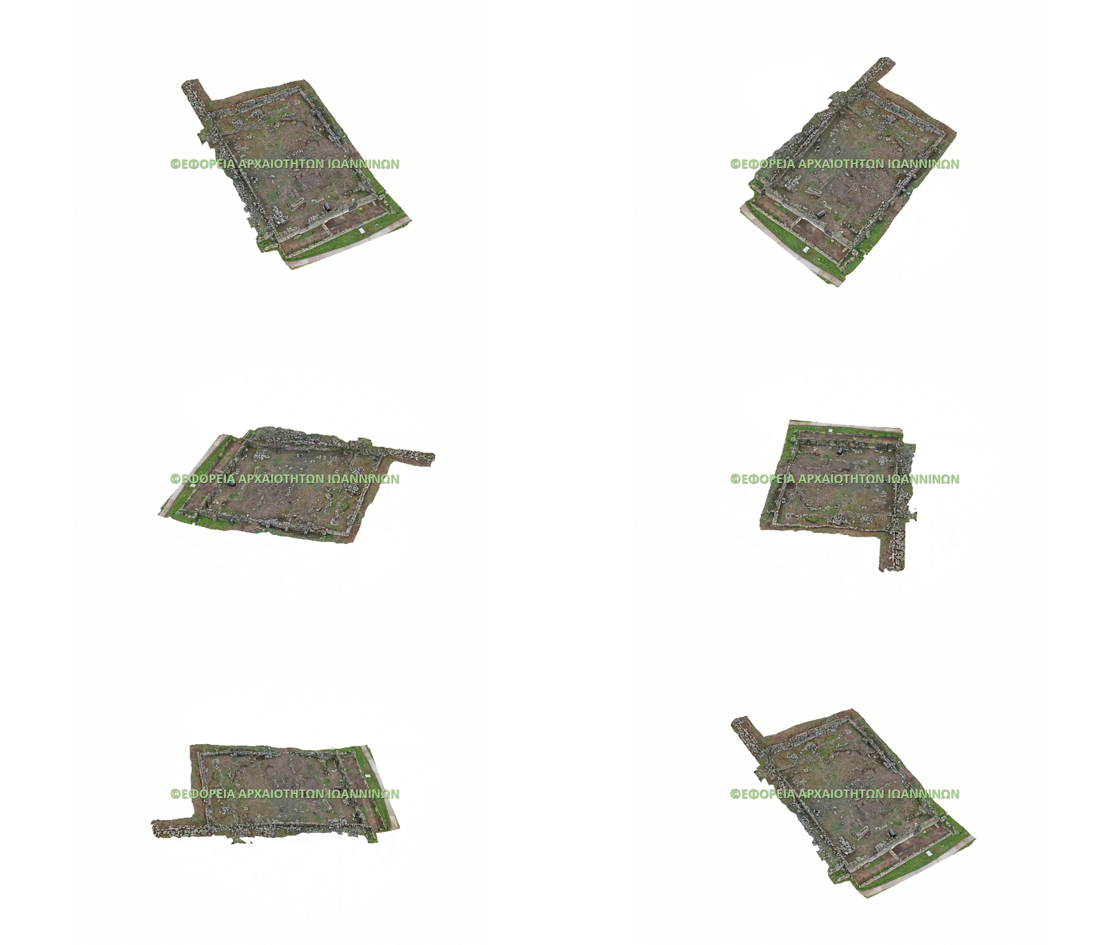
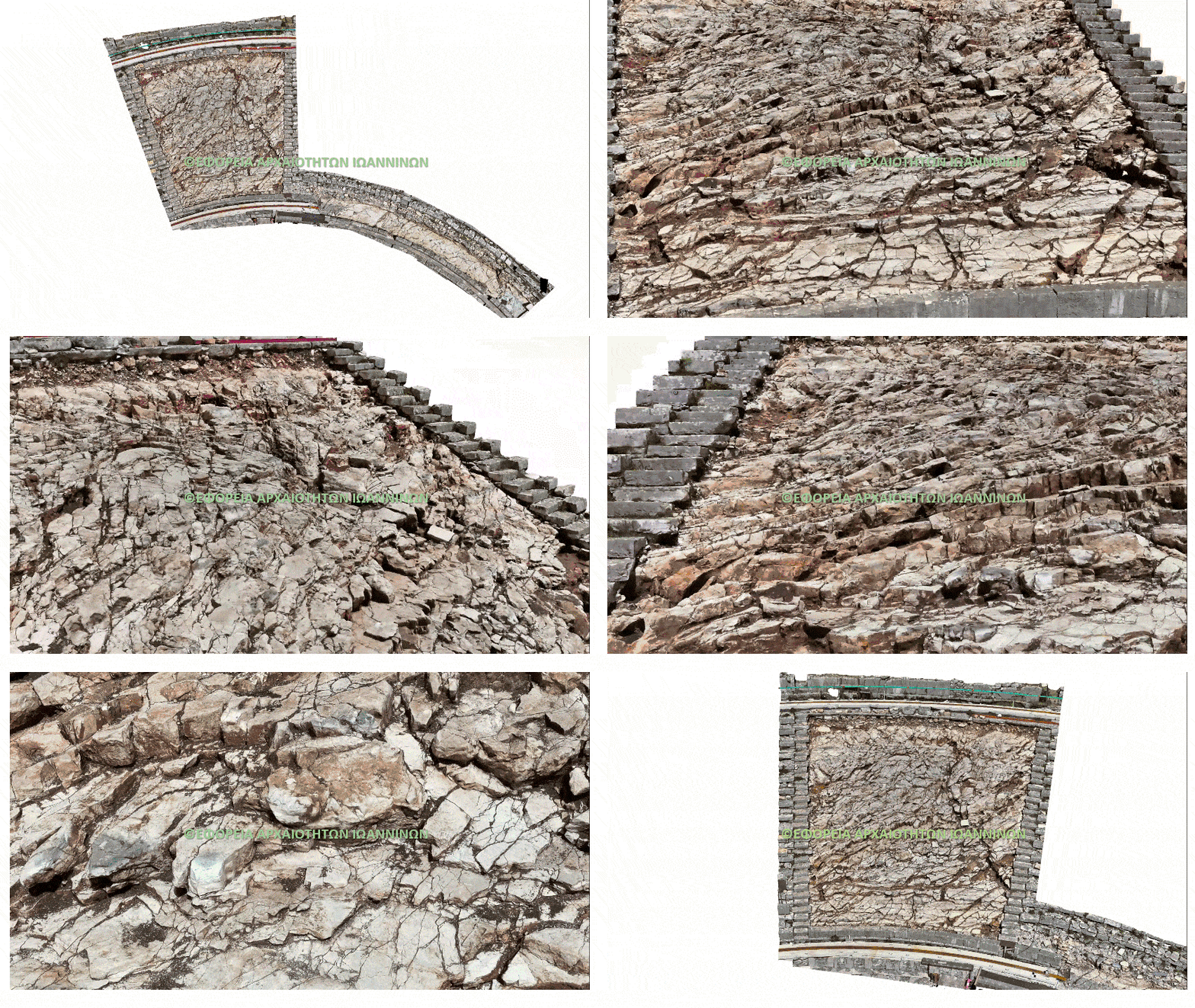
Mausoleum
Copyright: Ephorate of Antiquities of Preveza
Drone Surveying & Mapping Services for Infrastructure, Energy, Construction & Heritage Projects
High-accuracy survey-grade UAV mapping, photogrammetry and inspection services across Greece and Southeast Europe.
Drone Surveying & UAV Mapping Services in Greece
Topo-Drone provides professional drone surveying and UAV mapping services across Greece, supporting engineering, infrastructure, energy and construction projects.
Using RTK-enabled drones and advanced photogrammetry workflows, we deliver survey-grade orthomosaics, high-resolution terrain models (DSM/DTM) and detailed 3D datasets ready for CAD and GIS environments.
Our drone mapping services help engineers, contractors and asset managers obtain accurate geospatial data faster, safer and more efficiently than traditional surveying methods.
Our UAV surveying services support engineering design, infrastructure inspection, construction monitoring and asset documentation across Greece and Southeast Europe.
Trusted Data Solutions for the Sectors That Shape Our World
We Listen
At Topo-Drone, we start by understanding your goals. Every project is unique, so we tailor our services to meet your specific needs, delivering precise data and reliable results from the ground up.
We Are Fast
Speed meets precision. Our skills and use of technology deliver accurate data quickly, helping you make informed decisions faster and move your project forward without delays.
We Think Along
We’re more than professionals, we’re collaborators. From planning to execution, we work with you to anticipate challenges, offer smart solutions, and keep your project on track.
Ready to Elevate Your Project?
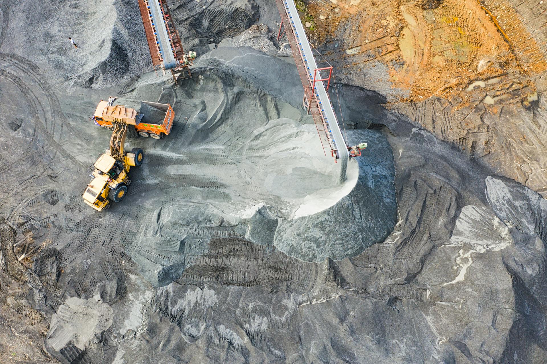
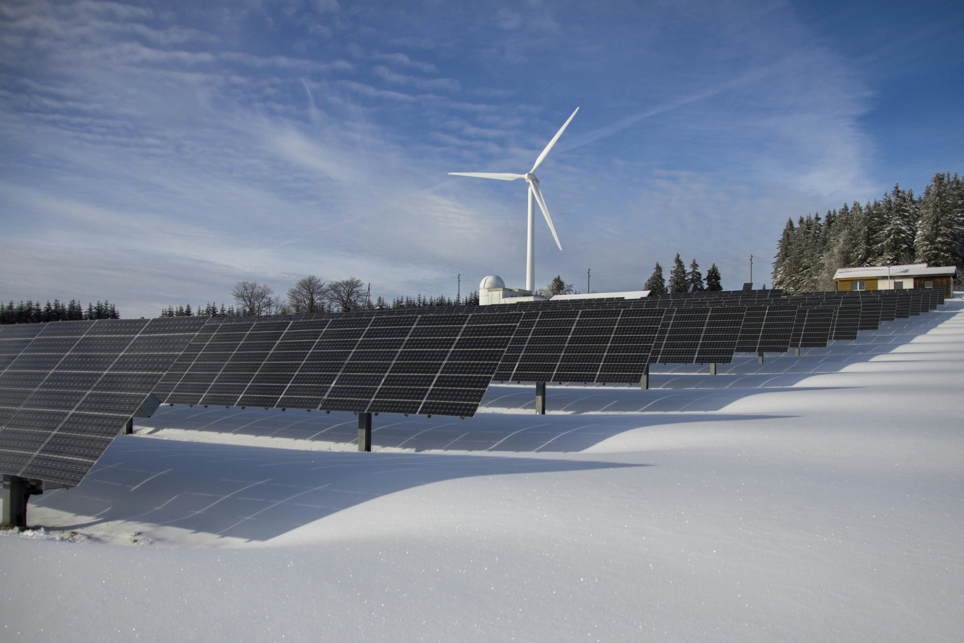
Elevate your projects with precision-engineered services from Topo-Drone. Our UAV solutions capture high-resolution aerial imagery, LiDAR, SLAM and photogrammetry data with centimeter-level accuracy, ideal for topographic mapping, volumetric analysis, and progress monitoring. We integrate seamlessly into your workflows, reducing survey time, minimizing risk, and delivering actionable geospatial insights that drive smarter decisions in construction, infrastructure, mining, and public sector projects.
How We Meet Your Challenges
Safety
Topo-Drone prioritize safety above all else. We use best practices to protect people, property, and the environment on every project.
Accuracy
We use advanced equipment, rigorous methodologies, and quality assurance processes to ensure precise, dependable results that meet your technical and compliance requirements.
Flexibility
Every site and client is different. We adapt quickly to changing conditions, schedules, and scopes, offering tailored solutions that keep your project on track without compromising standards or timelines.
Efficiency
We streamline our workflows to deliver results quickly and cost-effectively. From planning to reporting, our approach reduces downtime, maximizes productivity, and ensures your project progresses smoothly from start to finish.
Accountability
We take full responsibility for our work. Clear communication, transparent reporting, and a commitment to professional integrity mean you can trust us to deliver what we promise every time.
Testimonials

With lots of hard work and good communication Topo-Drone delivered the project data on time to me. Highly recommended!
Petros Katsoudas
Civil Engineer - Ephorate of Antiquities of Ioannina

Excellent communication and collaboration. Topo-Drone kept us informed throughout the process, and we are very happy with the results.
Vasilis Anagnostou
CEO Mermeren

Team expertise allowed us to fully understand our needs, and the support received was impeccable. Very happy with the final results!
Vaggelis Pavlidis
Archaeologist - Ephorate of Antiquities of Preveza
Clients & Partners





Certifications