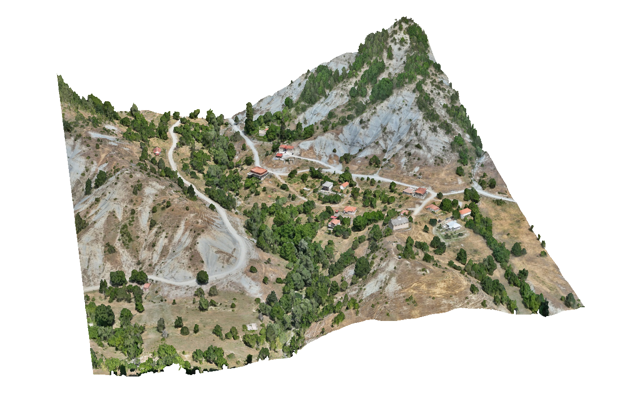
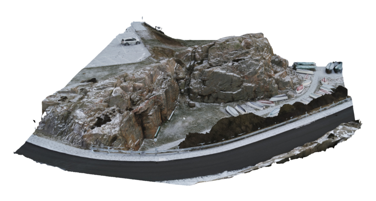
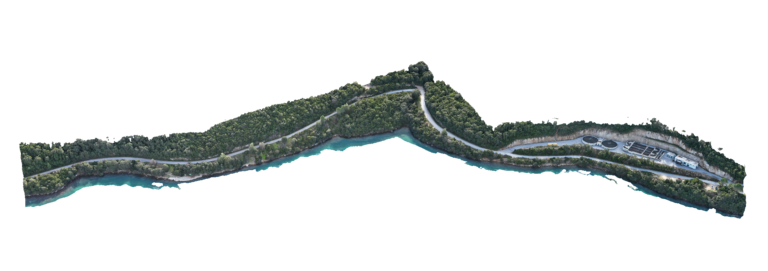
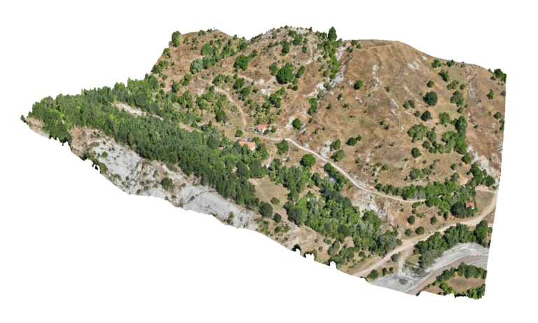
Advantages Using Drone: High-quality aerial data helps planners assess land use patterns, environmental constraints and development potential within settlements. UAV surveys provide valuable spatial information that supports sustainable urban planning, land management and infrastructure development within Local Urban Plans.
Deliverables: Interactive 3D model, Orthomosaic, High resolution imagery, Point clouds, CAD deliverables