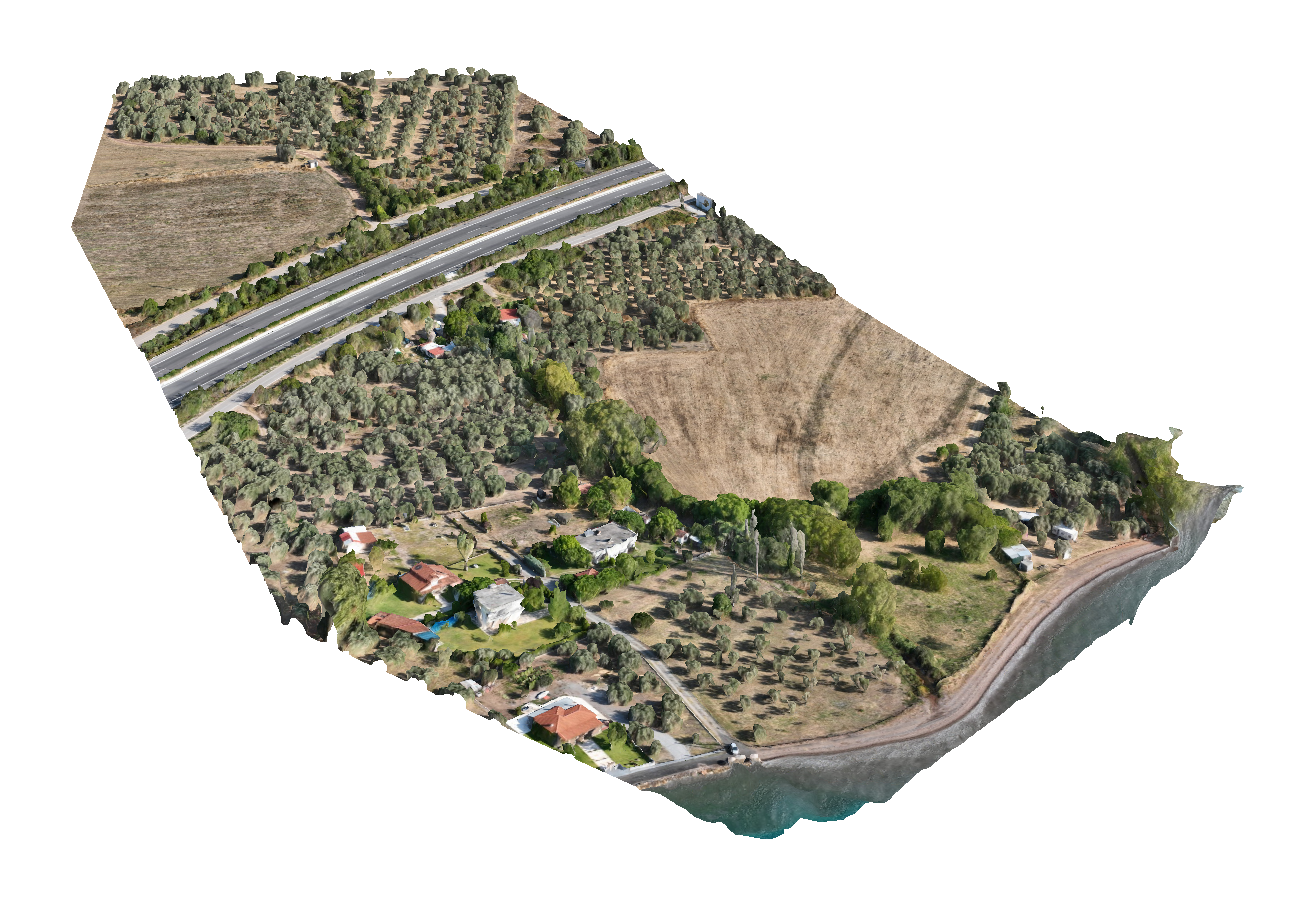
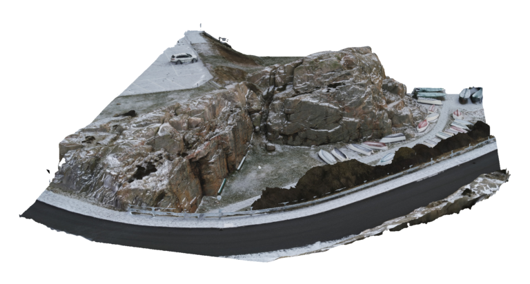
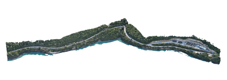
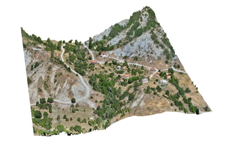
Advantages Using Drone: UAV surveys generate datasets that integrate directly with CAD, GIS and hydraulic modelling software. Deliverables such as orthomosaics, digital terrain models (DTM), point clouds and 3D models allow engineers to extract cross-sections, longitudinal profiles and floodplain analysis required for river engineering projects.
Deliverables: Interactive 3D model, Orthomosaic, High resolution imagery, Point clouds, CAD deliverables