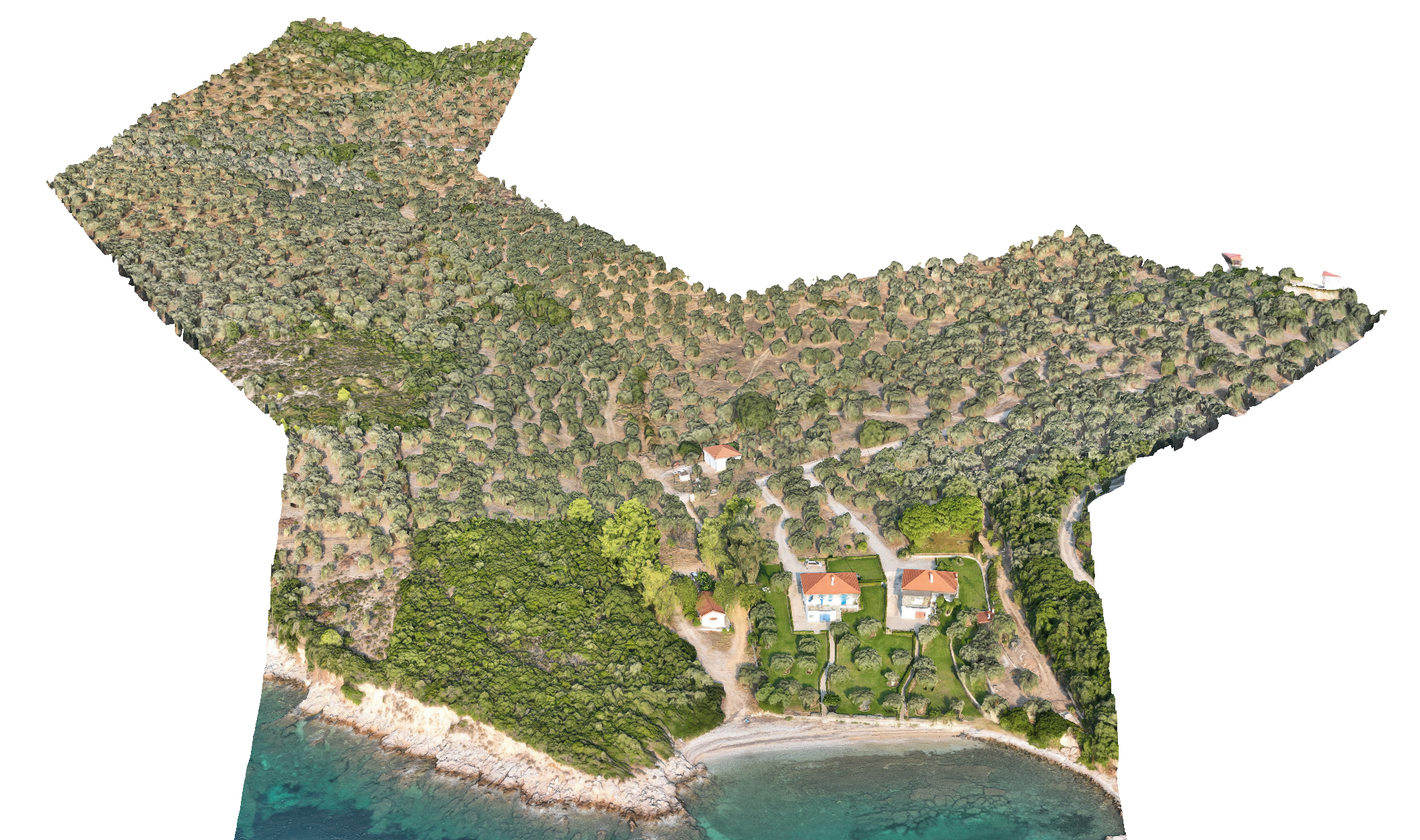
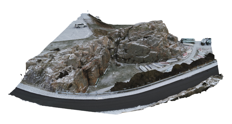
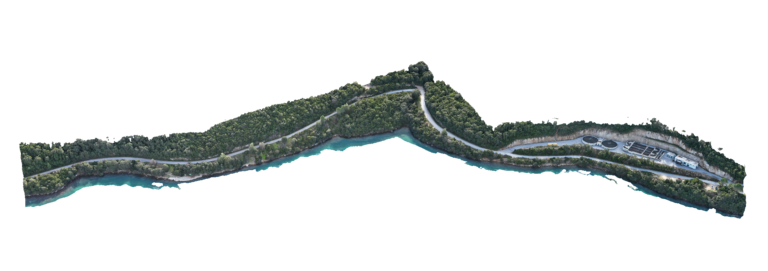
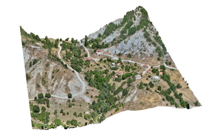
Advantages Using Drone: UAV surveys provide extremely detailed orthophotos and 3D terrain models with centimetre-level accuracy. This allows engineers to precisely analyse river channel geometry, stream banks, floodplains and surrounding terrain. High-resolution data improves the reliability of hydraulic studies and supports accurate planning of stream regulation and flood protection works.
Deliverables: Interactive 3D model, Orthomosaic, High resolution imagery, Point clouds, CAD deliverables