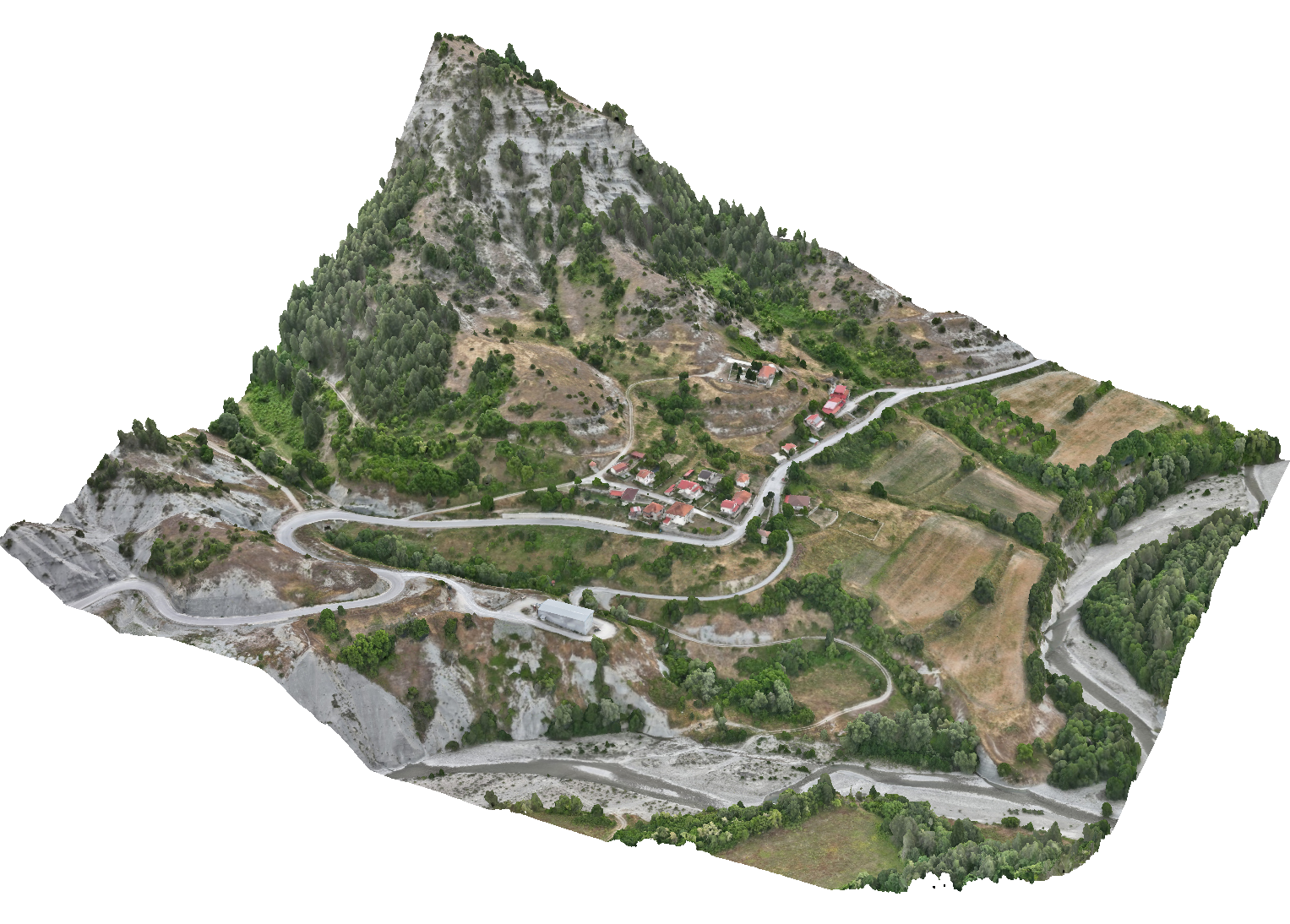
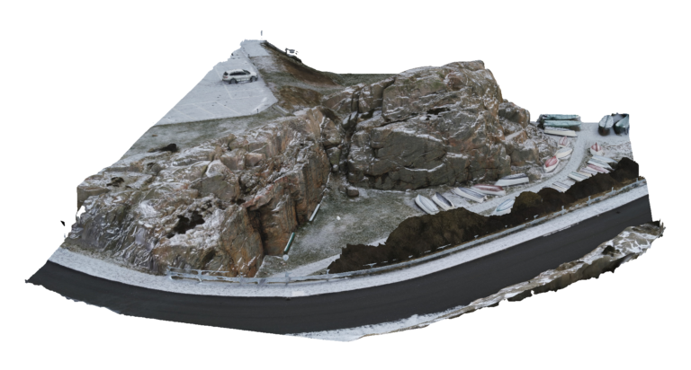
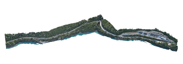
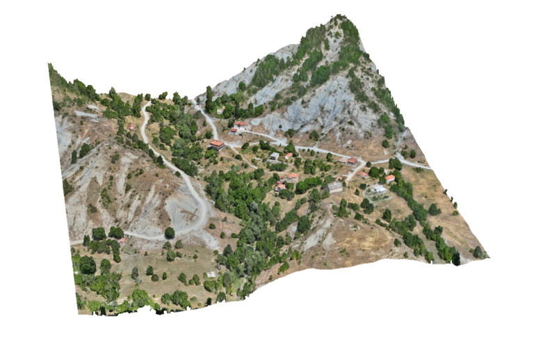
Advantages Using Drone: Drone mapping captures the existing urban structure of villages and settlements, including buildings, streets, open spaces and infrastructure. This detailed visual documentation helps planners understand the current spatial conditions and supports better decision-making during the planning process.
Deliverables: Interactive 3D model, Orthomosaic, High resolution imagery, Point clouds, CAD deliverables