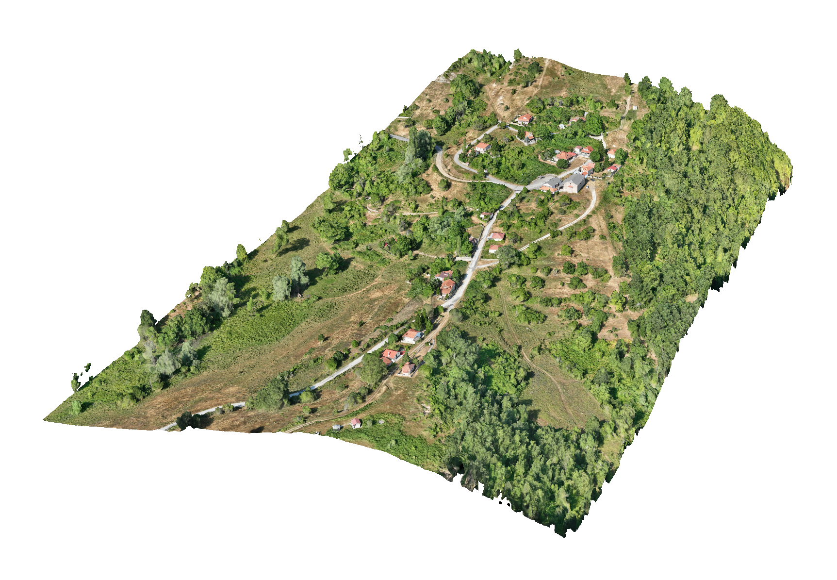
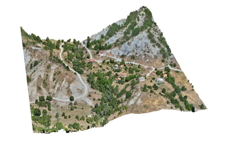
Advantages Using Drone: UAV surveys provide highly accurate geospatial data that helps planners clearly define settlement boundaries, built-up areas and surrounding land uses. High-resolution orthophotos allow urban planners and engineers to evaluate the spatial structure of settlements and support the preparation of Local Urban Plans.
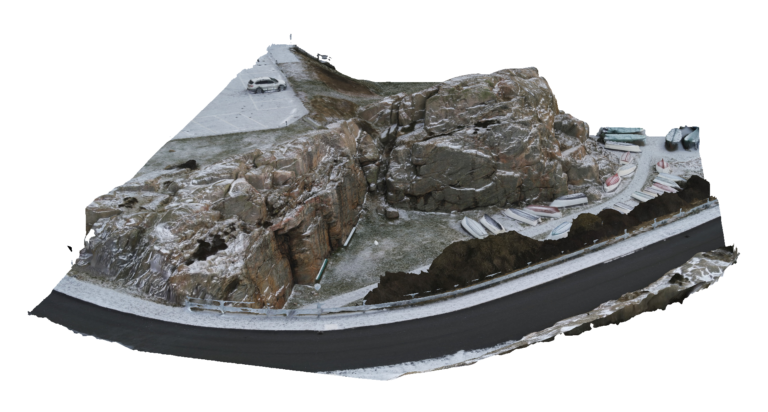
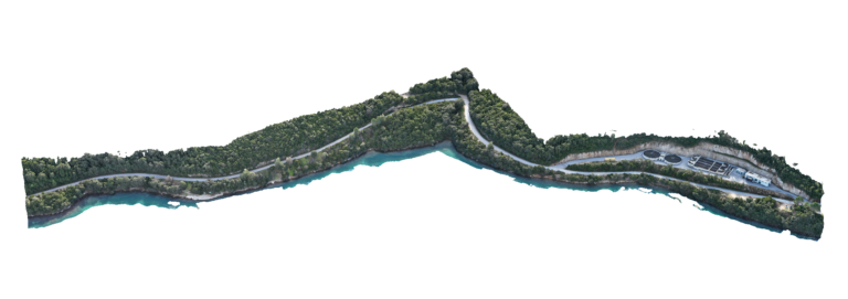
Deliverables: Interactive 3D model, Orthomosaic, High resolution imagery, Point clouds, CAD deliverables