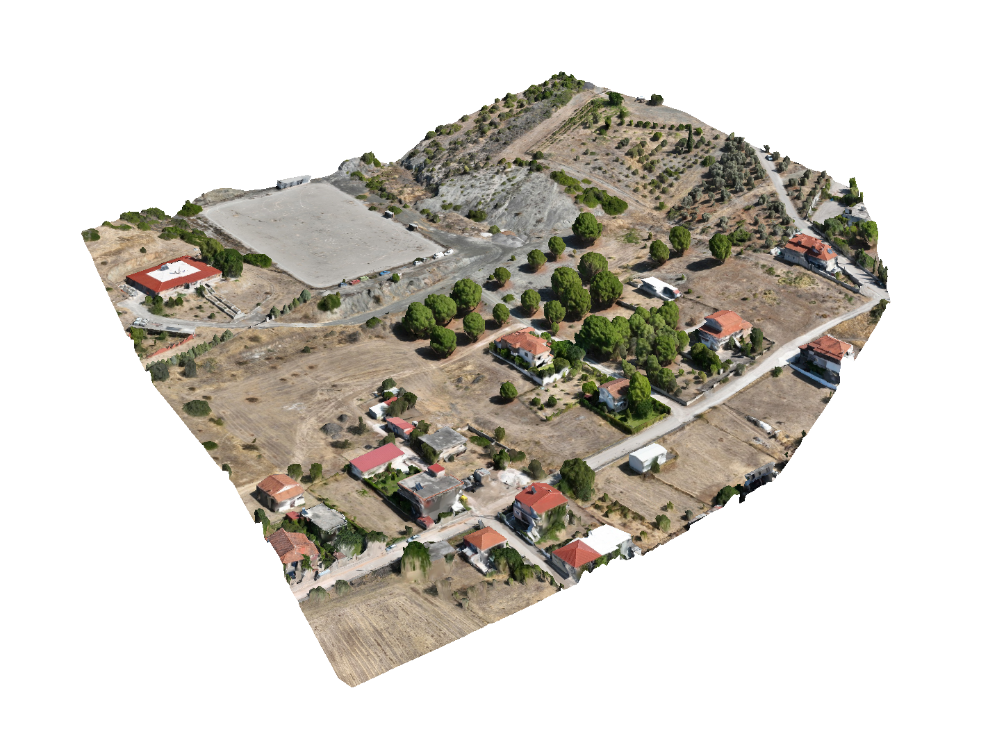
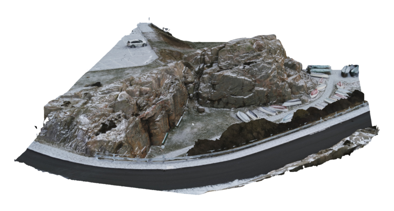
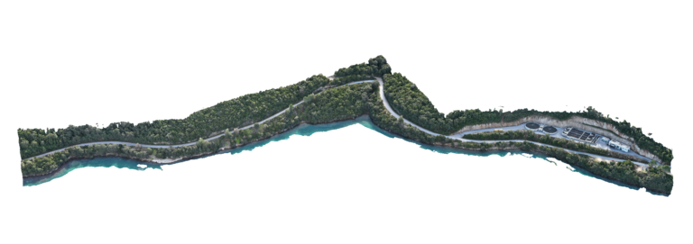
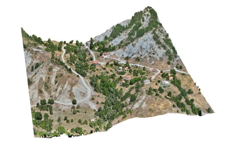
Advantages Using Drone: Drone mapping enables repeatable surveys throughout the project lifecycle. Engineers can monitor erosion, sediment movement and construction progress over time. This makes UAV surveys ideal for tracking changes in river morphology and evaluating the effectiveness of stream regulation or restoration works.
Deliverables: Interactive 3D model, Orthomosaic, High resolution imagery, Point clouds, CAD deliverables