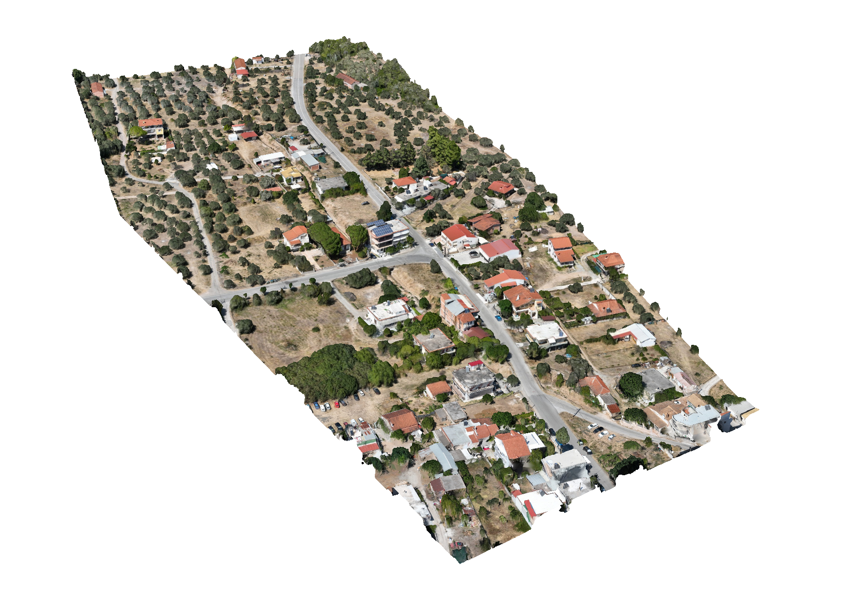
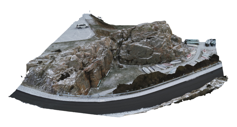
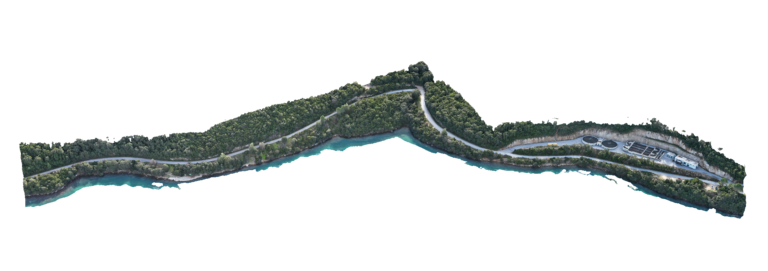
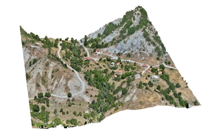
Advantages Using Drone: Stream environments often include steep banks, unstable terrain and dense vegetation. UAV surveys allow these areas to be mapped without requiring survey teams to physically access hazardous locations, improving safety while still capturing high-accuracy geospatial data for engineering analysis.
Deliverables: Interactive 3D model, Orthomosaic, High resolution imagery, Point clouds, CAD deliverables